Lopaskyne
Лопаскине | |
|---|---|
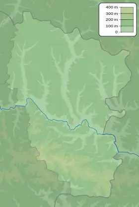 Lopaskyne Location of Lopaskine within Ukraine 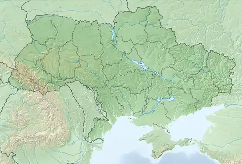 Lopaskyne Lopaskyne (Ukraine) | |
| Coordinates: 48°40′25″N 39°1′38″E / 48.67361°N 39.02722°E | |
| Country | |
| Province | |
| District | Shchastia Raion |
| Area | |
| • Total | 0.695 km2 (0.268 sq mi) |
| Elevation | 42 m (138 ft) |
| Population | |
| • Total | 138 |
| • Density | 200/km2 (510/sq mi) |
| Time zone | UTC+2 (EET) |
| • Summer (DST) | UTC+3 (EEST) |
| Postal code | 93704 |
| Area code | +380 6473 |
Lopaskyne (Ukrainian: Лопаскине; Russian: Лопаскино) is a village in Shchastia Raion (district) in Luhansk Oblast of eastern Ukraine, on the left bank of the Donets river.
Demographics
Native language as of the Ukrainian Census of 2001:[1]
- Ukrainian 9.42%
- Russian 90.58%
References
External links
This article is issued from Wikipedia. The text is licensed under Creative Commons - Attribution - Sharealike. Additional terms may apply for the media files.